


Launch of new satellites have potential to help farmers take precision agriculture to next level
The recent launch of the new Sentinel satellites, part of the European Union’s Copernicus Earth observation programme, has the potential to help farmers take precision agriculture to a new level.
Along with a host of other land monitoring uses, Sentinel data will create a major opportunity for service providers, and can be applied within agricultural technology.
Vladimir Stoiljkovic is Business Development Manager at the Satellite Applications Catapult. He says: "The integration of free Sentinel satellite data sets with other data sets offers the potential for improved precision farming products and services."
Sentinel is part of the Copernicus Earth observation programme, which includes six families of satellites, each with a different focus, and thousands of sensors in land, sea and air to help monitor Earth.
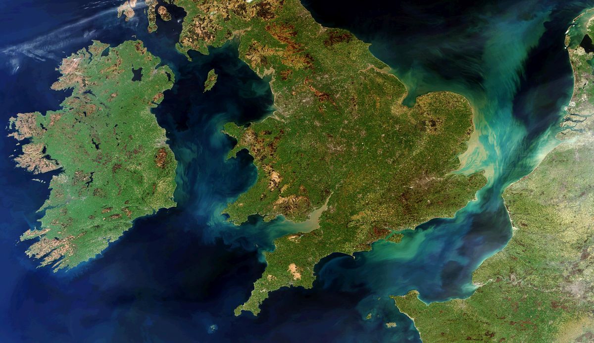
This satellite network provides data sources that could be used for precision farming, disease prediction or drought warning.
Stoiljkovic continues: "The European Space Agency’s Sentinel satellites will provide high resolution optical, radar and altimetry data about land and sea temperatures.
"The most interesting for agri-tech are Sentinel 1 and 2, which will provide global land cover."
Sentinel-1 offers radar imaging, which cuts through any cloud cover and can be used to monitor crop growth/health.
Although the data sets from the Sentinel satellites are free of charge, some of them require additional analysis to be useable, which creates a business opportunity for service providers.
"The issue with satellite imaging has been the resolution," says Stoiljkovic.
"Free data is available to 10m resolution but it is now possible to purchase data with a resolution of 31cm, which can be used to evaluate crop growth.
"Emerging technology has shown it is possible to identify the growth stage of crops, which could be extremely valuable when timing the application of fertilisers and irrigation.
"We have found that some of the larger grower groups are employing satellite data analysts to create these types of models."
Thierry Gregorius, of Exprodat, whose background is in the oil and gas industry, agrees that geomatics is becoming more mainstream: "Geomatics is all about using the power of location when data is collected, analysed and presented.
"It’s difficult to see patterns in spreadsheets. The simple act of plotting data on a map can reveal insights that would otherwise remain hidden.
"With today’s technologies, you don’t even have to wait to see the results: you can update the map as you collect data in the field – and start interpreting the results straight away."


