Improved flood maps published today show a reduction in the number of people classed at risk of surface water flooding and will help communities and businesses protect their properties from flooding.
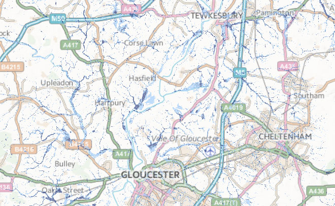
The maps show areas of the country at risk of flooding from rivers and the sea as well as new national scale maps of surface water flooding, making them some of the most comprehensive anywhere in the world.
Previous data estimated that 3.8 million properties were at risk of surface water flooding but improved mapping has now reduced that figure to around 3 million.
Surface water flooding occurs when intense rainfall overwhelms drainage systems. Some 35,000 properties were affected by surface water during the major floods of 2007.
Surface water mapping involves cutting edge technology, with flood experts using models to observe how rain water flows and ponds, and producing maps that take local topography, weather patterns and historical data into account. Future versions of the maps will be more detailed and accurate as the modelling technology develops.
Around 5 million properties are at risk of flooding in England, 2.4 million from rivers and sea and 3 million properties from surface water flooding. Some properties are at risk from both types of flooding.
Chief Executive of the Environment Agency, Dr Paul Leinster, said: “Last week’s storm surge brings into sharp focus how important it is that people know if they could be affected by flooding. Being prepared can save lives, homes, personal possessions and businesses. Our thoughts are with those who were flooded.
“We have used cutting edge technology to map areas at risk of surface water flooding in England. These maps are now amongst the most comprehensive in the world.
“With one in six homes in England at risk of flooding we urge people to check if they are at risk, and sign up to free river and coastal flood warnings, by visiting the Environment Agency website.”
The new maps, as well as providing a vital service to the public, will also help local authorities to manage surface water flood risk as required by legislation passed in 2010.
Measures already implemented by local authorities to manage surface water flood risk include the installation of property-level flood protection such as flood boards, working with water companies to create water storage areas, and recruiting teams of flood wardens to improve community resilience. National planning guidance is also in place to ensure that new development is resilient and does not increase flood risk elsewhere.
Environment Minister Dan Rogerson said: “We understand the damage and the stress that flooding can cause. That’s why we’re spending an unprecedented amount of money on protecting communities from flooding and coastal erosion.
“On top of this we have reached an agreement with the ABI guaranteeing affordable flood insurance for people in high-risk areas both now and in the future.”
Since 2011 the Environment Agency has protected an additional 99,000 homes and businesses with new river and coastal flood risk management schemes, and is on track to increase this figure to 165,000 by 2015. Last year over 7,000 properties were flooded but 200,000 properties were protected from river and coastal flooding by Environment Agency flood risk management schemes. From 2015 Defra is investing £370 million per year rising to £400 million by 2021 to protect more homes and businesses. This is more than £2.3billion over a six year period; more than ever before. The new maps will help to make the best use of this investment.
Aidan Kerr Head of Property at the Association of British Insurers said: “Accessing accurate, up-to-date information on surface water flood risk will help homeowners and businesses take steps to reduce the often devastating, and expensive impact of flooding”