


Rural Payments Agency mapping updates causing concern for farmers
A number of farmers have spoke of concerns about changes to their land parcels and consequent anomalies concerning 2017 Basic Payments.
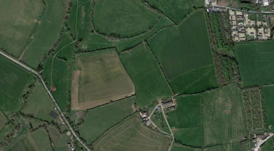
According to Chartered Accountant Saffery Champness, the Rural Payments Agency (RPA) had previously used satellite aerial imagery to update its mapping, which had in many cases been done incorrectly.
In some instances there had been no changes to land and entitlements in the last ten years, but changes were being shown on the RPA system and a number of farmers have had to re-add features that the RPA system had removed.
Many land parcels and boundaries had also been mixed up between neighbouring farms.
It is understood that these glitches caused around a third increase in the amount of time taken to process 2017 BPS applications with the most affected areas appearing to be Norfolk, Cambridgeshire, Bedfordshire and Kent.
In order to comply with EU regulations the RPA has embarked on a new ten week long digital map update exercise.
Land data held on the RPA system must be no more than three years old by 31 October 2017 to avoid potential EU sanctions.
Martyn Dobinson, senior manager at Saffery Champness said: "Any changes to land parcels and mapping will be notified on the RPA online service, but there will be no separate communication with individual farmers or landowners to advise them of any changes made to their data.
"We are therefore advising farmers to log into their RPA account regularly, to check carefully for any changes, and that where there are changes these have been correctly identified by the RPA."


