


Satellite to help farmers with precision technology and land management
A new Earth observation satellite launched on 7 March will help with precision farming, land management and environmental protection by farmers.
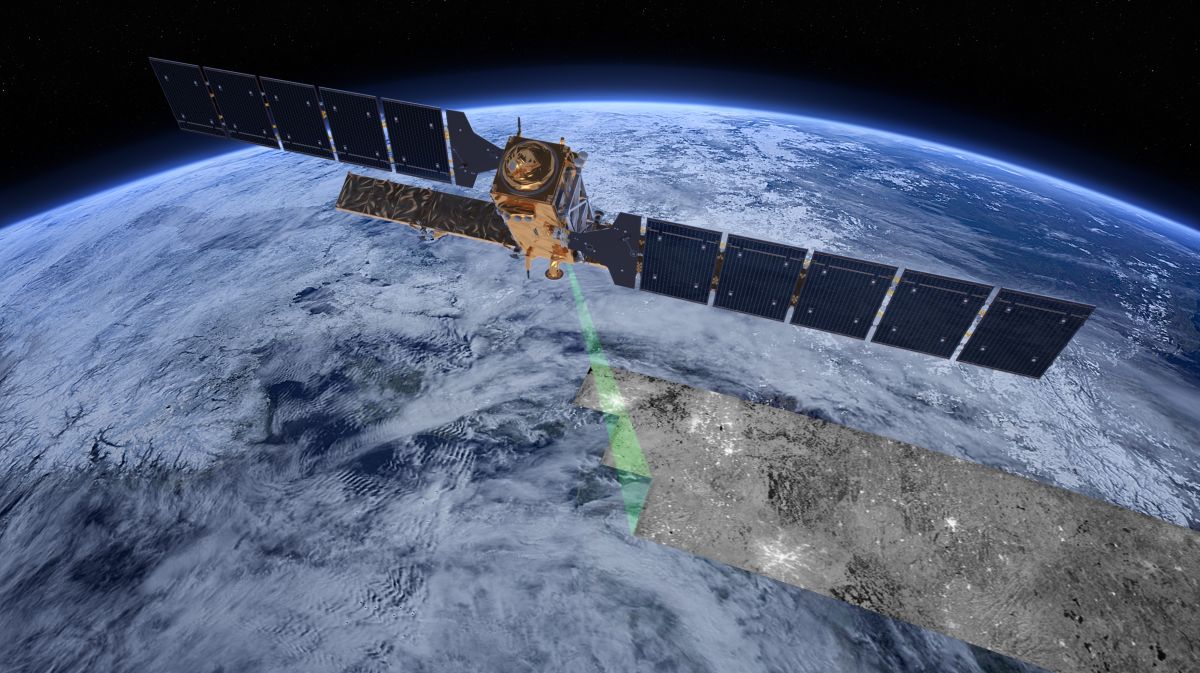
The Copernicus Sentinel-B2 satellite developed by the European Space Agency (ESA) doubles the coverage of high-resolution optical imaging in the Sentinel-2 mission in the framework of the European Union's Copernicus programme.
The faster and more precise data that the new satellite will bring is set to benefit farmers.
High-resolution satellite images allow farmers to closely follow the evolution of their land, check the status of their crops and make more informed decisions. The addition of the new satellite will bring down the cost of these services to farmers.
Images from the new Earth observation satellite will also have a wider impact on the management of Europe's food and farming sector, allowing for more accurate monitoring of agricultural production and more efficient controls linked to aspects of EU farm policy such as direct payments.
The space programme will deliver benefits to a wide variety of industries, such as reduced costs of precision farming services, increased productivity of fish farmers, thanks to the monitoring of toxic algal blooms, and savings for construction companies via a work progress monitoring application.


