


Cold snap on its way as snow and frost forecast for UK
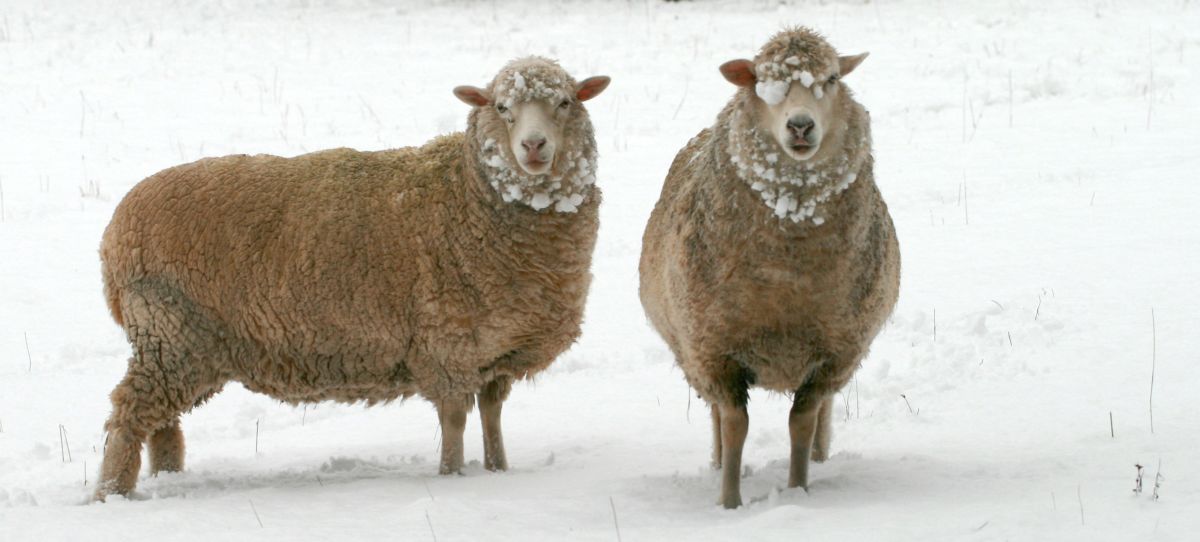
The UK is bracing itself for a cold blast over the coming week when temperatures will drop below freezing, bringing widespread snow and frosts.
The cold snap will bring a sharp change from the mild weather last month, the wettest on record, which brought huge misery to farmers in the form of extreme flooding.
Farmers, motorists, pedestrians and cyclists are being warned of the risk of frost and ice on roads.
There are also forecasts of more rain. The Environment Agency still has more than 150 flood alerts and warnings in place across England and Wales following the severe floods a few weeks ago.
During the early part of next week cold air will spread southwards bringing the chance of frost, ice and, for some, the possibility of sleet, snow and hail. Daytime temperatures are likely to be in the range of 0-5C which will be particularly noticeable given the recent run of mild weather, especially across southern parts.
Mel Harrowsmith, Head of Civil Contingencies at the Met Office, said: "For many the weather during the coming week is likely to be the first experience of winter, with either frost, wintry showers or even snow affecting many areas of the UK. With a marked change to colder conditions our Get ready for winter pages will help prepare for any wintry conditions they may encounter."
This change is associated with the movement of warm air northwards over the eastern United States this weekend, where heavy rain, snowfall and strong winds are forecast. This push of warm air northwards will lead to changes in the shape of the jet stream across the Atlantic and halt the progress of weather systems towards the UK. In turn this will allow cold air which is currently across northeast Europe to move westwards over the UK next week.
Looking ahead, the most likely scenario into the third week of January is a return to less cold weather as Atlantic weather systems try to push across the country, bringing rain and strong winds at times.


