


Precision farming technology is rapidly improving
Precision farming technology is rapidly improving, enabling grassland farmers to utilise techniques that until recently have been the preserve of arable producers.
Satellite imagery has been used alongside soil analyses to map cereal crop growth for a number of years, but the heterogeneous nature of pasture means that has been more difficult to replicate on grassland, says James Windridge, grassland account manager at Intelligent Precision Farming.
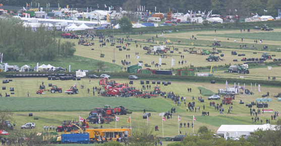
However, new advances in radar imagery mean livestock producers can now make the most of precision farming efficiencies. Speaking at the Grassland UK event last week, Mr Windridge said livestock farmers could now map their soils and use satellite imagery to monitor grass growth and create tailor-made fertiliser plans.
“You can record fertiliser and manure applications, and vary the application rate within fields to increase efficiencies and reduce the environmental impact,” he said. “It’s easy to upgrade as most tractors and fertiliser spreaders are ready for the technology – and you can also import yield maps from foragers.”
New radar technology meant images could be taken at any time, regardless of cloud cover, so farmers could identify where grass recovered quickly after grazing or cutting, and areas that might need attention.
Putting this into practice, Agrii’s SoilQuest precision farming team scanned, sampled and mapped the Grassland site ahead of the event, to develop the targeted nutrient programme provided by Origin Fertilisers. “Our three step map, sample, apply process allows precision techniques to be applied to grassland,” said Stuart Alexander, Agrii’s SoilQuest Commercial Manager. “It’s all about targeting of inputs, based on informed decisions.”


