


Researchers produce most comprehensive map of hedgerows in England
Researchers have used cutting-edge technology to produce the most comprehensive map of hedgerows in England.
Scientists at the UK Centre for Ecology & Hydrology (UKCEH) hope the map will guide planting and restoration of hedgerows to support wildlife better.
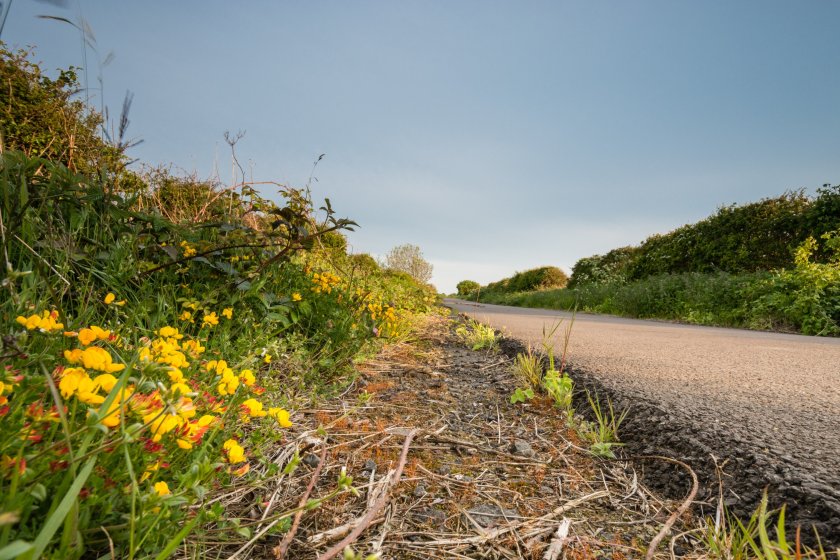
Hedgerows have been integral to England's rural landscape since the Bronze Age, traditionally marking out boundaries and keeping in livestock.
They contain hundreds of plant species, provide homes for nesting birds, small mammals and insects, and can capture and store large amounts of carbon.
However, approximately half of them were lost between the 1940s and 1990s due to government policies.
Recent years have witnessed a new threat, with scientists pointing to a lack of maintenance resulting in gappy hedges or overgrown lines of trees.
Dr Richard Broughton, who led the project, says: “Hedgerows are not only an intrinsic part of England’s rural heritage, they can also be a real asset in helping to tackle the biodiversity and climate crises.”
Mapping the country’s hedgerows is difficult due to the scale involved, and previous analyses have relied on estimates scaled up from field surveys of smaller areas.
However, the new map, derived from aerial laser scanning of England’s entire landscape, serves as a baseline for the amount of hedgerow, as well as providing important new detail.
It not only provides precise information on the quantity and length of hedgerows, but also reveals height measurements for the first time – a crucial indicator of hedge quality.
The data will be important to guide future habitat restoration, as the government has pledged to support farmers to create or restore 30,000 miles of hedgerows a year by 2037 and 45,000 miles a year by 2050.
Dr Broughton said: “The new map enables us to see where hedgerows are sparse and identify sites for targeted planting and restoration efforts, linking up habitats and improving the hedgerow network.
"It can also be used to estimate the potential amount of carbon that hedgerows could remove from the atmosphere and store.”
Most hedgerows, whether managed or unmanaged, are between 1 and 6 metres in height, and the new data calculates there are 390,000 km of such hedgerows in England.
Additionally, UKCEH identified another 67,000 km of lines of vegetation below 1m, which may be degraded, cut or newly-planted hedges.
It found a further 185,000 km above 6m tall, which includes mature hedgerow trees and many overgrown hedges that have become lines of young trees.
The step-change in hedgerow monitoring was made possible by the Environment Agency’s release of LIDAR (Light Detection and Ranging) remote sensing data for the whole of England, collected over five years as part of its national mapping work.
UKCEH scientists used the JASMIN super-computer to process the vast amount of data from across England.


