


University produces 'precision soil maps' to assist farmers into precision farming
A University is helping produce ‘precision soil maps’ to assist with ensuring the UK’s future food security by making it more affordable for farmers to get into precision farming.
Cranfield University is part of a collaborative project aiming to help arable farmers and landowners from all over the UK make a more affordable entry into precision farming.
Lead partner AgSpace Agriculture employs high resolution satellite data processed using a soil brightness algorithm to show where soil quality variation exists in fields.
This dataset will be analysed by experts from the Cranfield Soil and Agrifood Centre and modelled alongside Britain’s most comprehensive soil datasets to produce a new ‘precision soil map’.
This should present an economically viable alternative to the current labour intensive method of field soil surveys, with growers able to increase yields with lower input costs and reduced environmental impact.
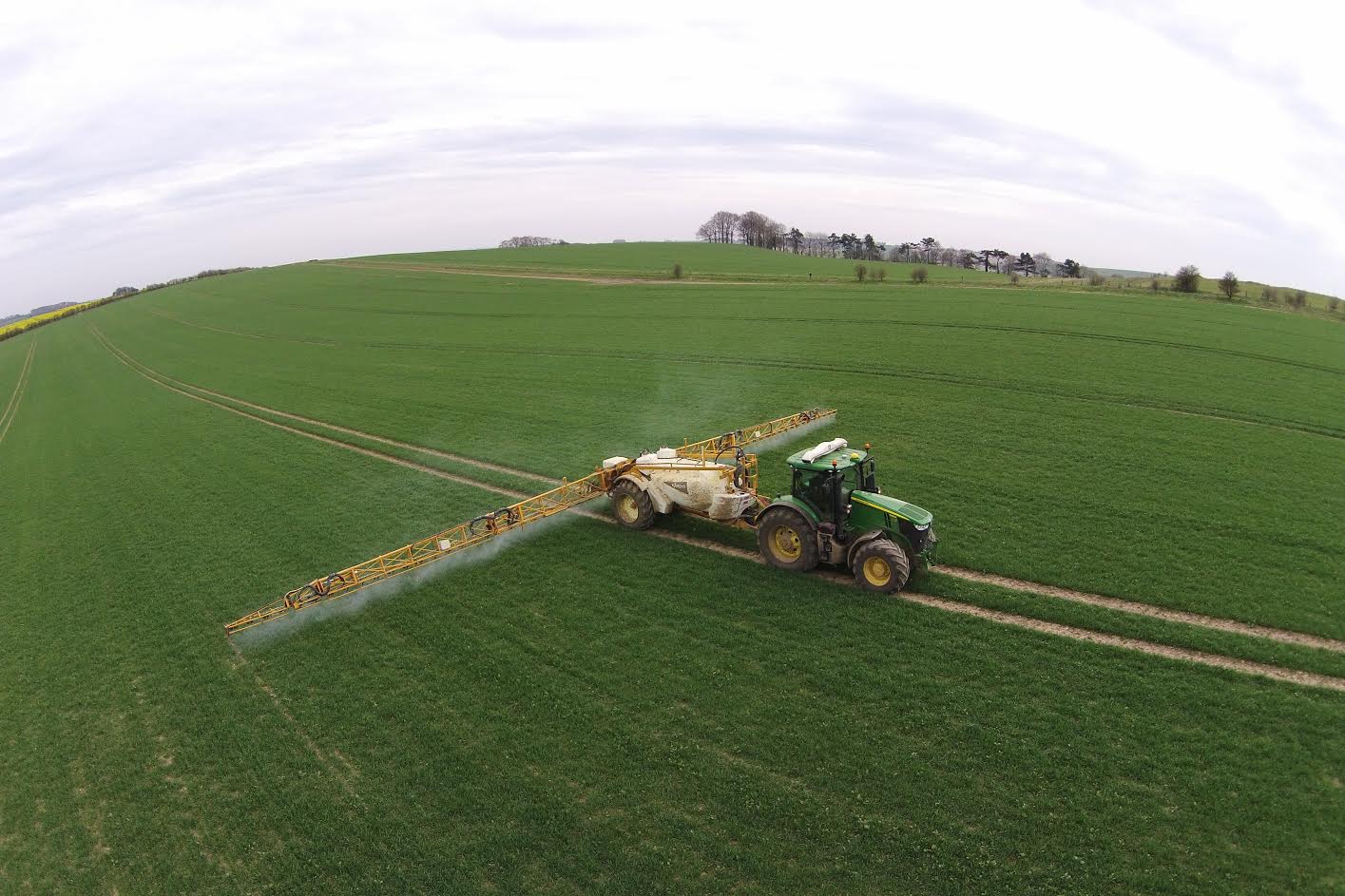
Precision farming involves dividing farmed land into management zones which have specific characteristics – soil being the most important.
Using such precision data has been proven to lead to better yield results across all crops when compared with traditional and conventional farming.
However, to date, the perceived high cost of entry has proved a barrier for many small-scale farmers.
Making precision farming more affordable
Dr Abdul Mouazen, Senior Lecturer in Agricultural & Environmental Engineering, is leading the project for Cranfield.
He said: “This work aims to make precision farming more affordable to enter for arable farmers and landowners throughout England, Scotland and Wales, drawing together a unique set of data to produce meaningful soil management zones.”
The technical approaches involved in this project draw on Cranfield’s experience handling and managing national scale datasets.
The Cranfield Soil and Agrifood Institute holds and manages the national land information system for England and Wales known as LandIS, on behalf of Defra.
Dr Mouazen continued: “Ensuring the world’s food security is going to be increasingly challenging, and rapid population growth means it’s high on the agenda for a lot of countries.
“According to the 2008 United Nations sustainable development forum, more food will have to be grown in the next 50 years than has been produced during the past 10,000 years combined.
“One way to achieve this is by managing farm resources using advanced technologies in precision agriculture.
“Precision farming technologies and techniques play an important role in ensuring sustainable food production.”
AgSpace Agriculture, who devised the soil brightness technology being used, are leading the project.
Cranfield is receiving more than 25% of the near £750,000 funding via Innovate UK, together with income from the Natural Environment Research Council (NERC).


