


Nematodirus forecast launches early due to mild weather
The nematodirus forecast has launched earlier this season as the UK experiences mild conditions coupled with a warm end to January.
The interactive Google map tool shows when hatching of Nematodirus battus is expected, based on local weather conditions.
The mild start to January has created conditions suitable for egg development in some parts of the UK, at a time when this would not ordinarily be the case.
As a result, egg development towards hatch may be at a more advance stage than expected.
Because of this, the Sustainable Control of Parasites in Sheep (SCOPS), the group behind the forecast, is urging farmers to be vigilant.
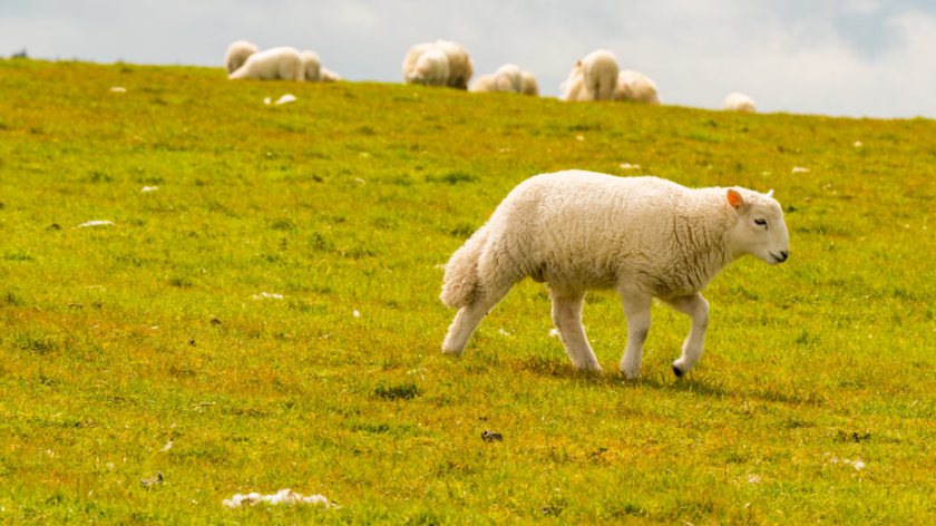
Lesley Stubbings of SCOPS said: “December and early-January born lambs are potentially at risk in February if they are on grazing that carried lambs last year, so producers in this situation need to be on the guard.
"If the mild weather continues the hatch will generally be early, but we need to monitor this carefully in the coming weeks because a cold snap can change everything.”
A link on the forecast also gives access to an archive section – called ‘historic data’ – so vets and farmers can consult previous forecasts and see when the risk levels changed in their area on a weekly basis.
As well as using the forecast, the SCOPS group also advises sheep producers to monitor for signs of diarrhoea and ill thrift in lambs.
The group urges farmers not to exclude nematodirus as a cause of disease, even if their regional hatching risk is not yet high.
Dr Hannah Vineer of Liverpool University, who was instrumental in developing the forecast, says farmers must also take into account variation from field to field and farm to farm.
"It is important to assess the risk to each group of lambs based on the history of the field and it’s aspect and altitude.
"South facing fields tend to have an earlier hatch and every 100m increase in altitude will delay hatching by about seven days.
"For example, if the nearest station is at 200m above sea level and the farm is at 100m above sea level, hatching could be around seven days earlier than our forecast."
The forecast map is updated daily, using data from 140 weather stations provided by the Met Office, tracking changes in risk throughout the spring and early summer.


