


New AI tool predicts miscanthus yields months ahead
Miscanthus farmers can now forecast yields months before harvest thanks to a new AI-powered tool that analyses drone imagery.
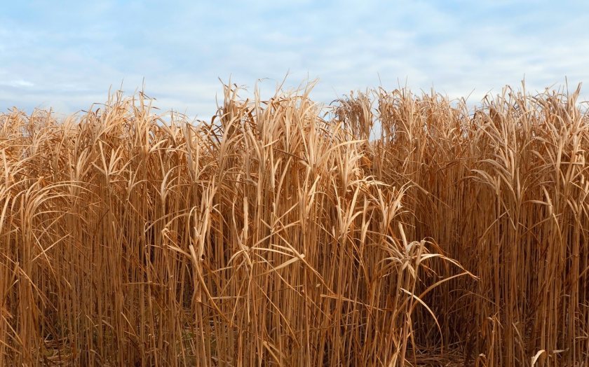
Launched this autumn, gono.ai allows growers to automatically detect and count Miscanthus plants from high-resolution drone images.
The system generates clear establishment maps and density reports, helping farmers see how well crops are taking root, identify gaps or weaknesses, and benchmark performance against target densities.
Beyond establishment mapping, the tool also forecasts yields using NDVI (Normalised Difference Vegetation Index) analysis.
By combining biomass data with drone imagery, gono.ai can deliver accurate predictions months ahead of harvest, giving farmers valuable insight for planning and market decisions.
Farmers simply upload drone images and field boundary files. The platform then produces visual maps, density figures, and reports in image and CSV formats, all compatible with common GIS and web-mapping tools for straightforward integration into farm management systems.
The project was developed under the OMENZ programme and funded by the Department for Energy Security & Net Zero (DESNZ).
Unlike many research-based tools, gono.ai has been designed as a practical, farm-ready platform to support the expansion of a resilient UK Miscanthus sector.
“gono.ai makes cutting-edge science accessible to farmers in the field,” explained Florian Ilias, managing director at Miscanthus specialist Terravesta.
“By combining AI with drone technology, growers can improve establishment, manage risk, and maximise long-term crop performance.”
The platform is free to use for single-field assessments, with tailored options available for larger-scale projects.
Developers say the system could play a key role in strengthening the UK’s position as a leader in sustainable biomass crops.


