


Defra unlocks national soil map to boost farm decision-making
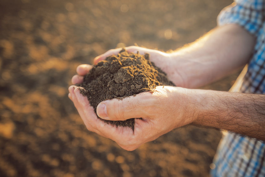
Farmers and land managers now have free access to detailed soil data that could help shape cropping decisions, land use and long-term farm planning.
Defra has removed restrictions on the national soil map, making it fully accessible through the LandIS (Land Information System) portal.
The dataset, covering England and Wales, is one of the most comprehensive of its kind and is expected to support better decision-making across agriculture.
The move forms part of the government’s Land Use Framework, which aims to improve access to high-quality data to support food production and sustainable land management. Greater transparency around soil conditions is also seen as increasingly important as the sector faces pressure to improve soil health and productivity.
LandIS, managed by Cranfield University for more than 20 years, brings together a wide range of soil maps and datasets that were previously only available through licences or paywalls.
With those barriers removed, farmers, advisers and planners can now use the information more freely to assess soil type, identify risks such as erosion, and make more informed decisions about land management.
Cranfield University said the national soil map can help “non-soil specialists better understand soil resources and identify potential soil risks”.
The NATMAP dataset itself is one of the largest in Europe, built on decades of research and containing data from more than 30,000 soil samples and 250,000 observations.
Alongside NATMAP, the system includes detailed soil association maps, simplified national overviews and datasets covering soil structure, chemistry and land use. It also incorporates information from the National Soil Inventory, offering insight into issues such as soil condition and erosion.
Defra has also confirmed plans to publish an updated Agricultural Land Classification (ALC) map for England, replacing the current provisional version.
The ALC system grades land from one, indicating excellent quality, to five, the poorest, and plays a key role in planning decisions, land values and the protection of high-quality farmland.
The updated map will introduce a clearer split within grade 3 land, separating it into 3a and 3b. This will improve how ‘Best and Most Versatile’ land — defined as grades 1, 2 and 3a — is identified and protected.
Initial findings suggest the changes could alter how land is assessed, with around 20% of land improving by one grade, while less than 20% has decreased.
A wider technical review of the classification system is also underway and is due to be completed by 2028. This is expected to incorporate new data and methodologies, potentially reshaping how agricultural land is classified and managed in the future.


