


Hutchinsons teams with SpaceSense to advance crop imagery
UK growers will be able to access satellite-derived field insights into their crops following the announcement of a partnership between Hutchinsons and SpaceSense.
Hutchinsons, a UK provider of agronomic services, will partner with French start-up SpaceSense, a firm which specialises in satellite imagery analytics.
The partnership will provide insights in real-time, as well a crop health monitoring solution that could provide information for growers even during cloudy weather.
Oliver Wood, Hutchinsons’ precision agriculture manager, said satellite imagery allowed farmers to see crops in different ways and react to changes faster than had been possible.
"This could be using variable rate technology to target inputs as well as more conventional husbandry techniques,” he added.
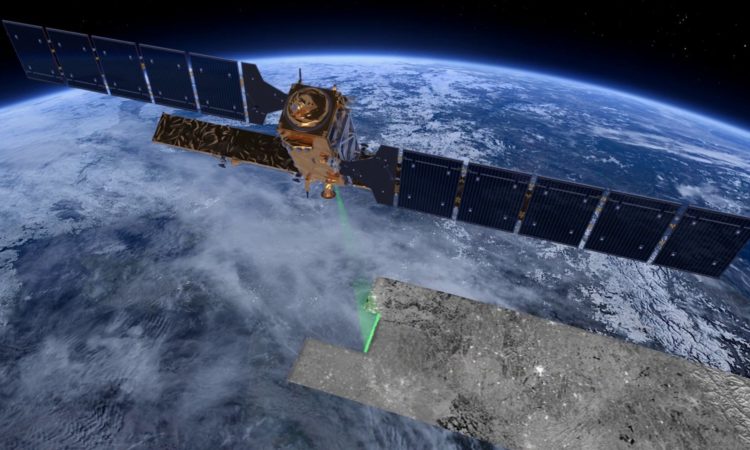
The two companies are now looking on how to target their next challenge which is a big issue for optical satellite imagery - clouds.
Jyotsna Budideti, co-founder of SpaceSense, said: "If the satellite passes when there is a cloud, you can’t get your image.
"This problem is especially important in the UK, where there are on average 3 times less images than in Italy for example.”
To tackle this challenge, SpaceSense created their Beyond Cloud technology.
Radar satellites - which can see through clouds - can provide above ground biomass information at the field during any weather.
Additionally, this technology can provide an image every two days on average, which means about 150 images a year.
Hutchinsons says it will be evaluating this technology on a range of crops such as barley, wheat and oilseed rape throughout the UK during the coming year.


