


New app puts soil erosion under the spotlight
A new mobile app has been launched to provide farmers and the public with a quick, easy way to learn about soil erosion in Scotland.
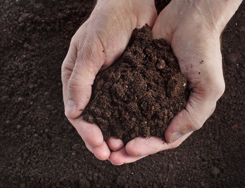
The Soil Erosion Scotland app will help users to understand and identify different types of soil erosion.
The app will make it possible for users to contribute their own records and images, which are then added to a shared map of sites of recorded erosion.
The iOS app also includes a map of modelled soil erosion risk and the National Soil Map of Scotland.
Dr Allan Lilly is a soil scientist at the James Hutton Institute and one of the researchers behind the app.
He said soil erosion occurs when soil particles break off from the soil surface and are moved across the land either by flowing water or by the wind.
"We find erosion occurring across the country, in both the uplands and the lowlands. Footpath erosion can also occur in localised areas," Mr Lilly explained.
“The most obvious effect of soil erosion is the loss of soil. You may have seen soil washed out of fields and onto roads or into rivers and streams.
"This is not just bad for farming through the loss of soil and nutrients but the nutrients in the eroded soil can pollute our rivers and the soil particles themselves can smother the riverbeds, damaging breeding grounds for fish.
"Erosion of peat soils can also cause water pollution but also release the greenhouse gas, carbon dioxide, into the air,” he added.
App users can help researchers understand and monitor soil erosion by sending their records and photos whenever they find evidence of soil erosion.
Collecting this information is the first critical step to being able to tackle the problem, according to James Hutton Institute.


